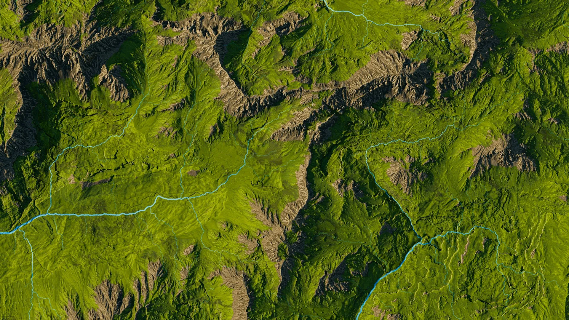
Designing Smart Maps in AgriTech: From GPS Tractors to Interactive Dashboards
As the human population continues to grow, so does the demand for agricultural products. Technological advancements in agriculture are gaining huge recognition due to the digitization of crop cultivation, namely the transition from individual precision farming solutions to a fully integrated management system within the enterprise.
In this article, we showcase our work in developing a solution for our client, who is focused on creating innovative strategies for modern plant cultivation. The client collaborated with Agiliway to advance their AgriTech platform, refine the system through testing, elevate the user experience, and integrate cutting-edge technological innovations.
The main objectives for improvement
The primary objectives assigned to the Agiliway team included enhancing the current system, modernizing obsolete functionality, setting the system to process large volumes of data, and optimizing the fertilizer distribution system to reduce wastage.
Throughout the project, the team addressed several complex challenges, including:
- Gaining a deep understanding of all system processes, particularly those involving additional fertilization calculations and the storage of map coordinates – tasks that are executed either during or prior to the data-saving stage.
- Implementing functionality to split or merge farm field boundaries within the system, ensuring that fertilizer is distributed accurately based on field scan data.
- Enhancing the fertilizer distribution planning module to allow for the creation of sub-plans that can be individually calculated, modified, or deleted.
Solutions delivered by Agiliway
The system features a comprehensive dashboard that provides users with access to detailed data on soil fertilization, field operations, crop protection, and other essential farming activities. Users can select a specific year and geographic location to review crop yield data for that period. The information is visually represented through both tables and interactive maps, with each crop type color-coded for easy identification.
Map Functionality:
Fields can be added manually by drawing directly on the map interface, where users can then input detailed information about the crops intended for cultivation. Alternatively, data can be collected using agricultural machinery, such as tractors, that scan and sample the land as they move across it. These scanned datasets are later uploaded into the system for analysis and planning.
Crop Rotation Management:
The system supports the assignment of primary and secondary crops to each field, enabling farmers to track crop rotation patterns across seasons. This insight helps identify soil treatment requirements to improve productivity and maximize crop yield.
Analysis of Soil Samples and Fertilization:
To better understand soil health and guide fertilization strategies, farmers can access comprehensive results from soil sampling, including important indicators like moisture levels and nutrient content. They have the authority to choose specific fields and specify the kind and brand of fertilizer that will be used. The system makes it possible to precisely configure fertilization plans, which are subsequently automatically transmitted to agricultural equipment.
Nutrient Distribution:
The system helps farmers make informed decisions about nutrient management by using soil sampling data to clearly visualize the distribution of important microelements across various field zones.
What were the advantages of Technical Enhancements?
After upgrading the outdated system, the platform can support more advanced fertilizer distribution capabilities based on real-time soil sampling and calculated requirements. Users can now independently split and merge fields within the system, a process that previously required assistance from the client’s technical team. Moreover, now farmers can group multiple fields into a single plan, selecting one fertilizer type for all included areas while still specifying custom application quantities for each field individually. This streamlines planning and improves efficiency.
It is also worth mentioning that a satellite view feature was added, enabling users to access various types of map scans using geo-satellite data. This enhancement offers a more comprehensive visual overview of field composition and crop development, supporting better monitoring and strategic planning.
Final word
Advanced AgriTech innovations and their widespread adoption are driving the rapid digital transformation of the agricultural sector. This article shows how integrated technology solutions are changing contemporary farming methods and improving cultivation results, exemplifying the real-world implementation of digital transformation in agriculture.
Contact us to transform your AgriTech vision into a powerful solution. Our experts are ready to assist.


